
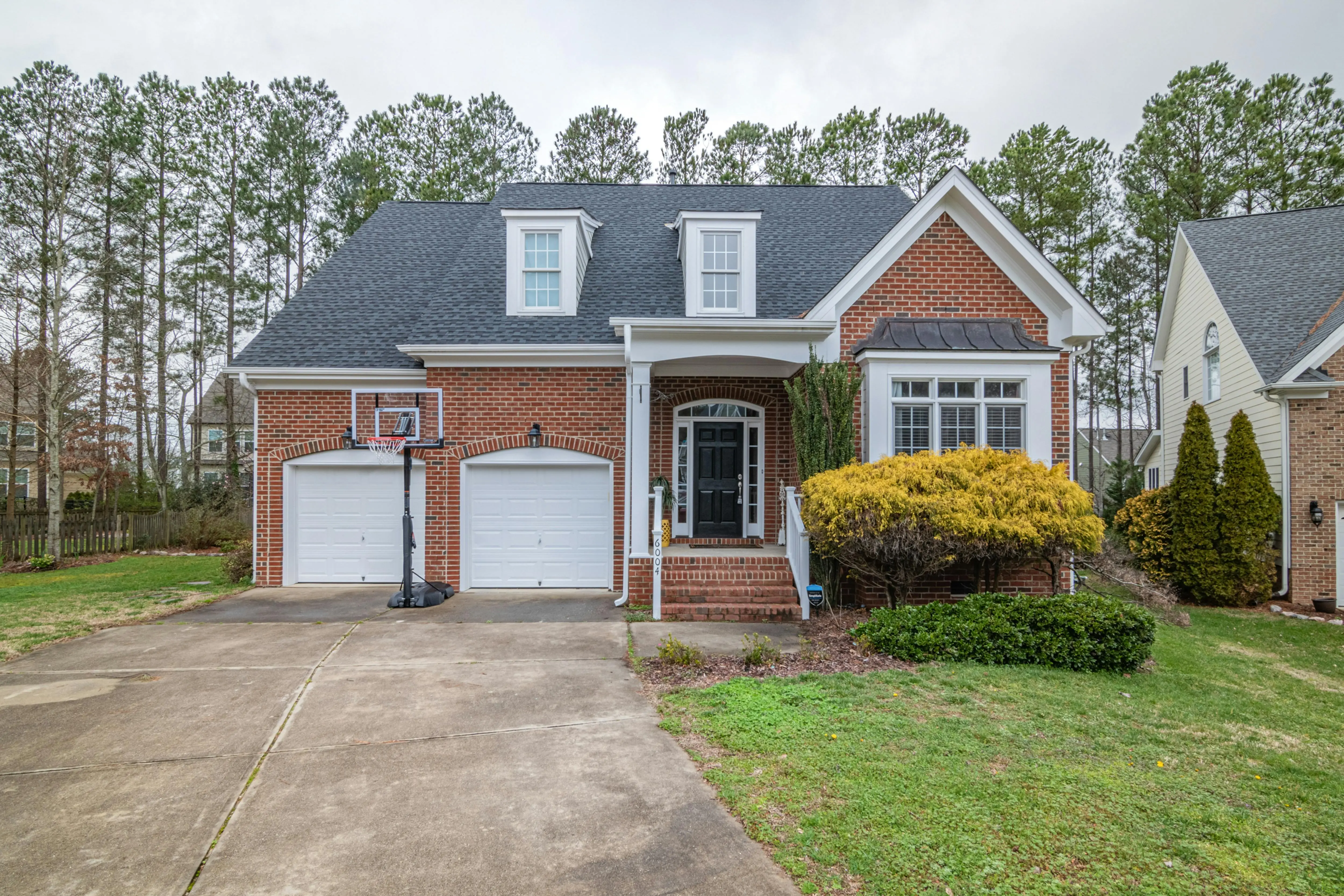
What a Driveway Topographic Survey Really Is—and Why It Matters
Think of a driveway topographic survey as a 3-D map of your property’s skin. It shows every bump, dip, swale, and tree root that will affect how water and vehicles move across your land. Without it, you’re guessing where water will go, how steep your driveway will feel, and how much soil needs to move. Guess wrong and you get puddles, ice patches, or a $10,000 do-over.
In most townships a topo survey (or “contour map”) is now required with a driveway permit. Even if it isn’t, ordering one before you grade or pave is the cheapest insurance you can buy—usually 1–2 % of total project cost and it saves ten times that in future repairs.
Five Ways a Topo Survey Saves Money & Headaches
1. Prevents Drainage Disputes with Neighbors
When you can prove water followed the same contour for decades, you won’t be held liable for “new” runoff. A stamped survey is legal evidence.
2. Eliminates Extra Grading Charges
Contractors bid by the cubic yard. If they underestimate cut-and-fill because they relied on “eyeball” measurements, the change order lands on you. A topo survey gives them exact volumes up-front.
3. Optimizes Material Quantities
Knowing the exact slope lets you choose the right thickness of base rock, asphalt, or concrete. On a 300-ft driveway, a 1-inch mistake in base depth wastes 25 tons of stone.
4. Protects Your Foundation
Negative slope toward the house is a top cause of wet basements. A survey catches this before the first truck of gravel arrives.
5. Speeds Up Permits
Building departments approve faster when their engineer sees a licensed survey. One client in Ohio cut permit wait time from six weeks to ten days simply by submitting a topo map with the application.
When You Need (and Don’t Need) a Driveway Topographic Survey
- New driveway on raw land – Always required.
- Major re-grade or extension – Required if slope changes > 5 %.
- Adding a retaining wall > 3 ft – Most codes trigger a survey.
- Simple overlay or seal-coat – Usually not needed unless drainage problems already exist.
Rule of thumb: if soil is being moved or the finished elevation changes by more than 6 inches, get the survey.
Step-by-Step: How the Survey is Done
1. Office Setup
The surveyor downloads your county’s latest LiDAR data and overlays property lines. This gives a “first pass” contour map accurate to about 1 ft—good enough to plan field work.
2. Field Work
Using a robotic total station or RTK GPS, the crew shoots elevation points every 10–15 ft on gentle ground and every 5 ft (or less) in critical areas such as swales, utilities, and proposed driveway edges. They also tie in:
- Existing storm drains, culverts, and utility caps
- Large trees you want to save
- Neighbor’s driveway and gutter lines (to prove drainage direction)
3. Data Processing & CAD
Back in the office, points are filtered and a 3-D surface model is built. Contours are generated at 1-ft or 2-ft intervals; for driveway work 1-ft is standard. The surveyor overlays the proposed driveway centerline and calculates cut/fill volumes.
4. Deliverables You Should Receive
- PDF plan view (11×17 or 24×36) with contours, spot elevations, and spot grades at 25-ft stations along the driveway
- Digital DWG or DXF file for your contractor’s grading equipment
- Volume summary table (cut, fill, net balance)
- Licensed surveyor’s stamp and signature
DIY Contour Apps vs. Professional Survey—Where They Fall Short
Phone apps like GoDigger or drone maps can produce pretty 3-D models, but vertical accuracy is typically ±6–12 inches—nowhere near the ±0.1 ft required for driveway grading. A $30 app is fine for garden beds; it’s not insurance against a $8,000 pavement tear-out.
Also, only a licensed surveyor’s map is admissible in court or at the building department. If your neighbor claims you redirected water, your drone map won’t hold up.
What a Driveway Topographic Survey Costs in 2024
| Property Size & Complexity | Average Cost (USD) | What’s Included |
|---|---|---|
| Small suburban lot (< ¼ acre, gentle slope) | $600 – $900 | Field topo, 1-ft contours, PDF & DWG |
| Typical ½-acre residential | $900 – $1,400 | All above + spot grades every 25 ft along driveway alignment |
| Wooded or steep acreage | $1,400 – $2,500 | Dense shots, tree locations, culvert profiles |
Add $200–$300 if you need a formal boundary survey at the same time. Rush turnaround (48 hrs) can add 50 %.
How to Hire the Right Surveyor (Checklist)
- Verify license on state board website.
- Ask for driveway-specific samples—not just lot surveys.
- Confirm they can deliver DWG file compatible with your contractor’s machine-control grading gear.
- Get a fixed price, not an open-ended hourly rate.
- Require E&O insurance (errors & omissions) of at least $1 M.
- Request 48-hour turnaround on minor revisions—often needed after the engineer tweaks the driveway alignment.
Reading Your Topographic Map Like a Pro
Understanding Contour Spacing
Tight lines = steep; wide lines = gentle. For a driveway you want the 1-ft contours to spread out to at least 20 ft apart (≈ 5 % slope) for comfortable traction and minimal erosion.
Spot Elevations to Check
- Top of foundation—driveway should finish 6 in below this.
- Edge of sidewalk or street—match local code (often ½ in above curb for asphalt, flush for concrete).
- Crown or high point—water needs two directions to drain; a single high point every 150 ft prevents ponding.
Cut & Fill Table
Look for “net balance” close to zero. A 15 % surplus means you’ll pay to haul dirt away; 15 % deficit means you’ll buy engineered fill—both budget killers.
Practical Grading Tips After the Survey
Start at the Bottom
Establish your driveway’s low point first—usually the street gutter or a ditch culvert. Work uphill so every layer compacts toward final grade.
Use a “template” on the Grader
Upload the surveyor’s DWG to a GPS-equipped skid-steer or motor-grader. The cab screen turns red when you’re 0.05 ft off design grade—no guesswork.
Leave 2 % Crown for Unpaved Base
Even if you plan asphalt later, crown the gravel base so rain sheds during construction. It’s cheaper than pumping mud out of ruts.
Compact in 6-inch Lifts
Every survey shows “finished grade,” but if the contractor dumps 3 ft of fill in one go, it’ll settle 6 inches the first year—wiping out your perfect contours.
Pairing Your Topo Survey with Drainage Design
Once contours are digital, your engineer can run a flow-analysis to see where water wants to go. Typical add-ons:
- Swales sized to handle 10-year storm
- Culvert length & slope matched to existing stream crossing
- French drain alignment that follows the low contour—cheaper trenching
Spending an extra $300 on a short drainage note can save $3,000 in future erosion repairs.
Permit Submission Package—What the County Wants to See
- Driveway topographic survey (1-ft contours, licensed stamp)
- Proposed centerline profile with finished grades every 25 ft
- Cross-sections at 50-ft intervals showing pavement section, sub-base, and side slopes
- Drainage calculations (often a one-page note referencing the topo map)
Submit digital PDFs; most reviewers zoom in on contour spacing first—if it looks wrong they reject before checking anything else.
Frequently Asked Questions
Professional surveys are accurate to ±0.1 ft vertically and ±0.05 ft horizontally. That’s tight enough to set final pavement grade without rework.
Consumer-grade drones deliver ±6–12 in vertical accuracy—fine for estimating dirt piles, not for setting pavement grade. You’ll still need a licensed survey for permits and liability.
Field work: ½–1 day for a typical lot. Drafting and stamping: 1–2 business days. Rush service (24–48 hrs) is available for about 50 % surcharge.
Most will set offset stakes at 25-ft stations for an added $150–$250. Ask for “blue-top” stakes at finished grade so your grader can see exact elevation without a GPS screen.